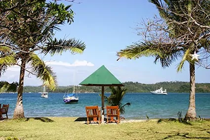
This is the home of the Cruising Yacht Club of the Philippines
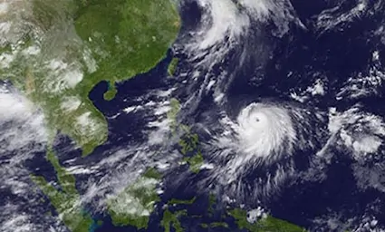
We are located in the centre of the North coast of Mindoro Island, Philippines, inside a historic, natural typhoon shelter at approximately N13° 30.75' E120° 57.25'
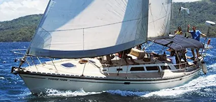
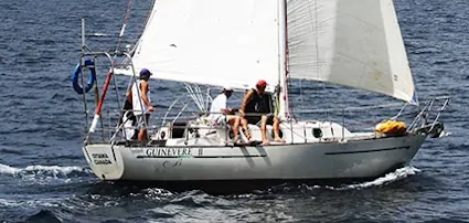
The Puerto Galera Yacht Club welcomes sailing yachts and luxury motor yachts from Asia and all around the World, to enjoy our unique hospitality and our focus on all things sailing; come tie-up at our typhoon-safe moorings and pull-up a stool at the bar for the best introduction to the Philippines - the sailing center of Equator Asia.
In November 2004 Puerto Galera was accepted as a member of The Club Of The Most Beautiful Bays In The World and remains the only ’most beautiful bays member‘ from the Philippines.
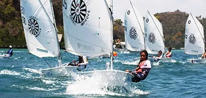
In these pages you will discover a thousand reasons to visit the Puerto Galera Yacht Club and more information than you hoped for about Philippines sailing, dinghy sailing, windsurfing, scuba diving, snorkelling and all other water sports in the Philippines.
If arriving by yacht please hail the Puerto Galera Yacht Club on VHF Channel 68 when you are close by, our service boat will advise you if there is an available mooring.
Prefer to give us a call first (recommended if you want to pick-up a mooring)?
landline +63 43 351-2035; mobile +63 917 520-5874
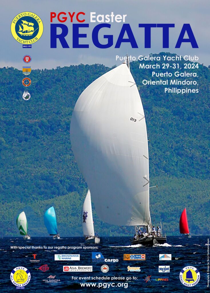
All Souls Regatta
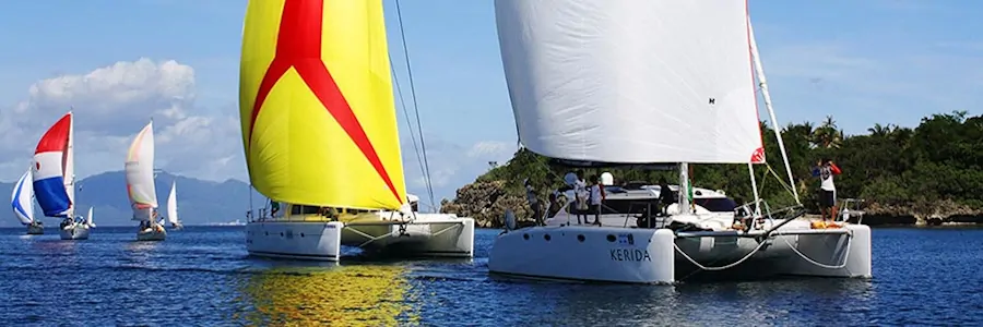

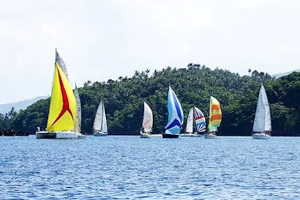
The Puerto Galera Yacht Club is the organizer of the largest yachting event in the Philippines: the All Souls Regatta. Organized to coincide with the All Saints/All Souls/Halloween holiday at the end of October beginning of November each year, the All Souls Regatta is open to all keelboats, multihulls & sports boats of any shape or size, and wannabe crew. The Regatta is renowned for being the most fun you can have on the water at Halloween anywhere is Asia.
2023 marked the 20th All Souls Regatta in Puerto Galera and the event this year was sponsored by: Royal Cargo, Philippine Retirement Authority, Asia Breweries, Broadwater Marine, Lane Moving & Storage, Solanda Enterprises, Semper Green Energy, SeaJet Paint / Chugoku Marine & Industrial Coatings, Tricom Projects, M/V Isla, Wisdom and EvoCenter.
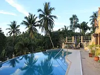
Planning to join us for the best sailing week in the Philippines? You may need to find accommodation so check out the options from our guest house & resort partners on the Where To Stay section of this website.
f.webp)
Yacht Club Online Resources
Latest News
For Sale / Classified Ads Quick Links
Can't find what you are looking for here? Email: webmaster (at) pgyc.org
Copyright © 2003–2024 Puerto Galera Yacht Club, Inc., Philippines; All Rights Reserved
All Images and Text on this page are covered by Copyright and are not considered Public Domain; contact the webmaster(at)pgyc(dot)org to request permission to resuse an Image and or Text on this page
Disclaimer